Please join us as we continue our West-bound journey...
This time we travel from Illinois, through Missouri & Iowa into Nebraska.
The Eastern Bluebird and Red Hawthorn are the state bird/flower for Missouri
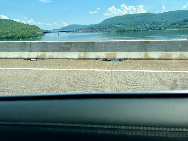
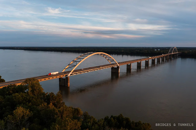
Around 9:54 I start crossing the Mississippi River on the Stan Musial Veterans Memorial Bridge.
Yes, I had some light rain... The ONLY day with some rain!
Mega Project – Mississippi River Bridge ←click link
At Metro–East St. Louis, Illinois.
At 10:13 crossing the Missouri River on the 10–lane Blanchette Memorial Bridge at Saint Charles, Missouri.
The rain had stopped...
Blanchette Bridge I–70 West Bound ←click for short video
Blanchette Memorial Bridge – St. Charles, MO – Aerial Video – 12/1/17 ←click for short video.
After passing Lake Saint Louis, we went more north on US–61, near Wentzville, MO
Very interesting drive with lots of Nature like Cuivre River State Park, Lincoln Hills Natural Area and Cuivre River State Park: Northwoods Wild Area.
When coming closer to Hannibal on the Mississippi River, we took the US–36/MO–110 West.
Hannibal was the boyhood town of Mark Twain and is famously known as the setting of Tom Sawyer and Huckleberry Finn!
Approaching Macon, Missouri (one–hour driving from our hometown is a Macon, Georgia!) and more nature with Macon County Park and Long Branch State Park with a huge lake.
Missouri kept surprising us, also with extensive agriculture and very lush and green fields!
Pieter gassing up after 524.2 km or 325 miles...
This was in Brookfield, Missouri
BUT it was actually our 4th try at a CASEY'S General Store for finding high octane fuel!
Otherwise we would lose our car's warranty...
Feels good for having enough for arriving at our destination and also for using the restroom and eating our lunch around 13:00.
Did drive 4 hours and 44 minutes since morning...
The maximum speed in the midwest is higher than in the east, so you can make good progress in general.
Vast agricultural areas we passed, very rural, not many towns!
Pieter and I, with our horticultural background HAD to stop and check out the crops we were passing...
This was around 1:40 pm and they turned out to be very healthy Soybeans, at blooming stage.
Near Saint Joseph Missouri, on the Missouri River, I turned onto Interstate 29 North.
More interesting nature, when passing through Loess Bluffs National Wildlife Refuge.
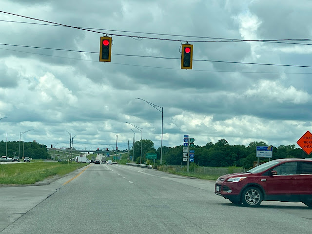
Around 14:18 at Intersection near Cameron, Missouri on US–36 W and 110 W for diverting to Kansas City south on Interstate 35 or Bethany to the north on Interstate 35.
We kept going on combined US–36 W and 110 W(est).
It was a cloudy day but very pleasant for driving!
A bit of a traffic jam at this junction... so at 14:20, I managed to take this sign.
After passing a huge Power Plant on the Missouri River, we now turn left around 15:58 onto NE–2 W = Nebraska highway 2 West and stay on it for about 75 km or 46.6 mi.
Visible on this map, where we turned off I–29 onto NE–2 West.
We also did pass through a corner of the State Iowa, IA–2 = Iowa 2 which changes into NE–2 for Nebraska.
Around 5:32 PM I pulled up at the Hyatt Place on 600 Q Street in Lincoln, Nebraska
After checking in and then parking the car in the adjacent public garage, I walked across the street to capture this train at Lincoln Station, Haymarket.
We were so very lucky all those days with perfect weather!
The Hyatt Place Lincoln/Downtown–Haymarket on Q Street.
Yes, they use the alphabet for street names!
Lincoln is the Capital of Nebraska.
An overview of our travel for that day; we really did go WEST!
The achievement for the day, lots of climbing again.
A total of 892 km or 554 miles.
Enjoy this short 2 minute Relive video below.
Stay tuned for day 3...


